


A Twitter bot created by New York–based artist and urban planner Neil Freeman is producing serial images of every census tract in the United States. Operating under the account @everytract, the project will eventually publish satellite photos of the entire country.
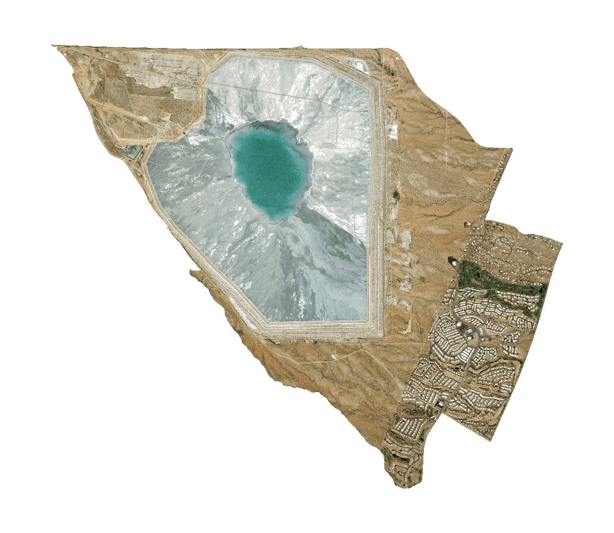
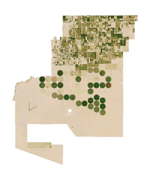
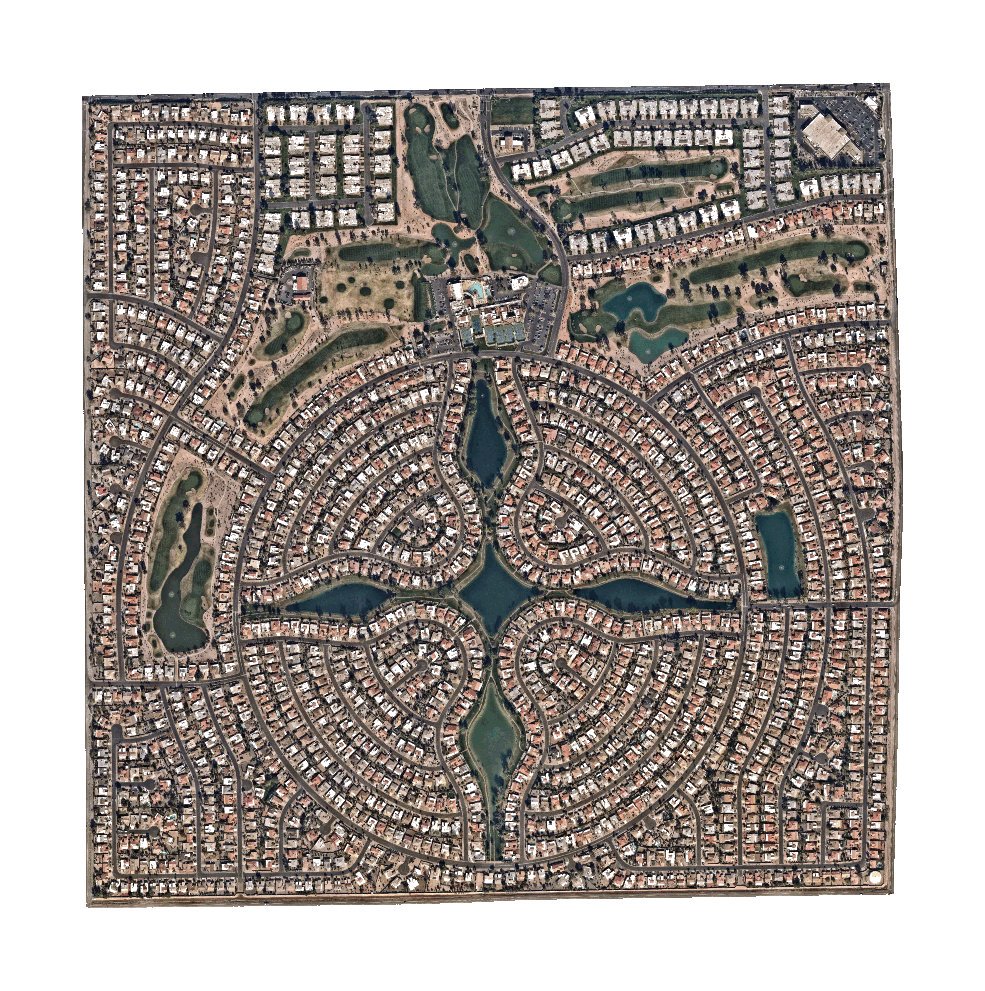
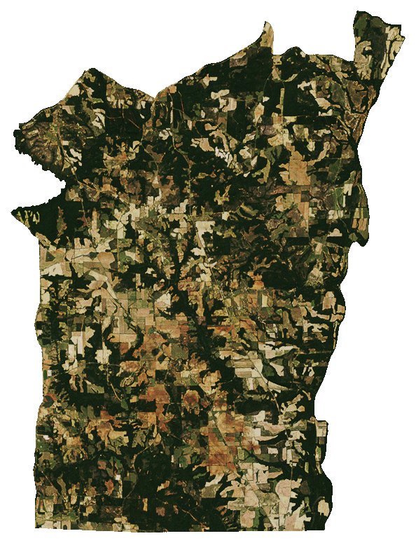
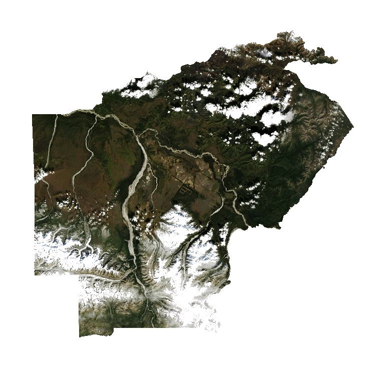
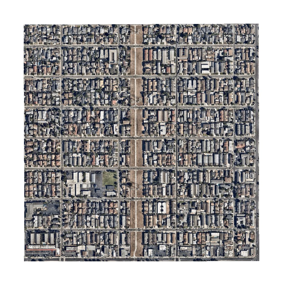
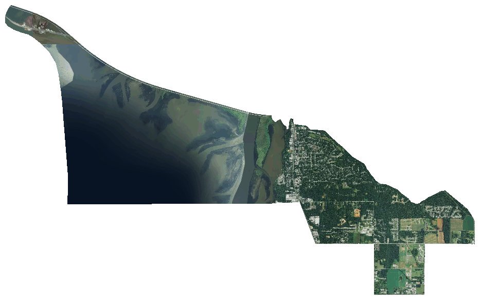
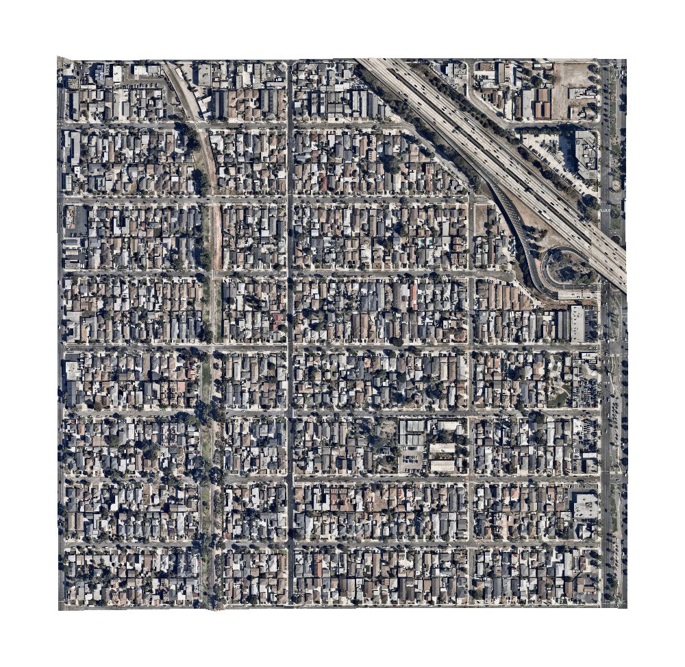
The account’s feed—a stream of landscape photos cut out along census tract boundaries placed against a white background—initially appears pretty monotonous. The bot posts every image with the census tract’s government identification number and location, but includes no other information or commentary, and the satellite imagery is familiar to anyone who has ever used Google Maps. Image after image of Southern California suburbs seems to confirm the banality of American neighborhoods, but after scrolling through dozens of images, the photos get defamiliarized and nuanced differences start to become more apparent. Repetitive patterns emerge only to be broken by strange landscape anomalies—an open mine, perhaps, or an artificial oasis in the Mojave Desert. As the bot shifts from one state to another, the images shift from the green forests of the south to the tan deserts of the west to the white snowdrifts of the north. The posts become artifacts that testify to the incredible variety of American settlements.
Because census tracts are designed to have comparable population sizes, the images vary wildly in scale, showing the range of densities across the country.
“I was playing with the project of a book that included satellite images of every tract at the same scale,” Freeman said, “but I abandoned it when I realized that for the smallest tracts to be visible, the largest ones, in rural Alaska, would have to be wall-sized.”
Freeman also said that the project highlights the geographic idiosyncrasies of every state: “Only about a hundred tracts in Arizona cover the vast majority of the state’s land, so if you blinked, you missed them. It’s really a very urban state. Arkansas, on the other hand, was small town after small town.”

Freeman, who has been creating similar work that combines data-sorting algorithms and urban planning for years, said that the root of the listing concept came from poet Allison Parrish’s 2007–2014 project @everyword, which posted every word in the English language.
Freeman began the @everytract project this spring, and it will progress alphabetically through the states, posting every half hour and is scheduled to run for another three years and ten months. The account is currently making its way through Los Angeles, California.