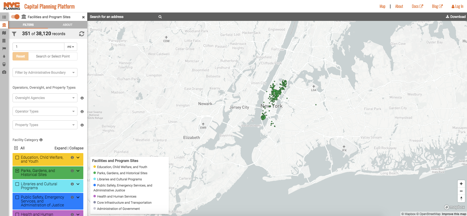
New Yorkers and open space enthusiasts have something to celebrate, as the NYC Department of City Planning (DCP) has released a map of the more than 550 privately owned public spaces (POPS) in the city.
POPS have been an integral part of New York City’s zoning process since their introduction in the 1961 zoning code as an incentive to developers; in exchange for building public plazas, arcades, or outdoor spaces, the city allows private developers to add extra floor area to their buildings or grants other waivers. According to the DCP, POPS exist at over 350 buildings and account for more than 3.8 million square feet of open space.
With the new searchable map, interested visitors can gather information on the location, amenities, hours of operation, year of construction, and designers behind each and every privately owned public space. Most of the aforementioned spaces are in Manhattan, and while Brooklyn and Queens only contain a smattering of such public areas, the DCP expects this number to grow dramatically as development in these boroughs increases.
Despite the significance of POPS in Manhattan, they’re not untouchable. A furor arose in October of last year as the owner of 200 Water Street at the southern tip of Manhattan sought to convert half of their public plaza space into retail. Even the release of the DCP’s mapping tool wouldn’t have happened without pushback against developers who were misusing the extra space afforded by POPS.
The city has been engaged in a tug-of-war with the Trump Organization since the 1980s over the removal of a 22-foot-long stone bench from the lobby of the Trump Tower on Fifth Avenue and East 56th Street. After Trump added two sales counters hawking Trump-branded merchandise to the public lobby, the city issued a series of fines, and the City Council ultimately passed legislation in 2017 to guard against the future misuse of POPS.
Up until that point, nearly half of all POPS were being improperly used but the city lacked a stringent inspection protocol to verify this. A three-year inspection schedule, along with new signage requirements and the map released this week, arose directly from that vote to tighten POPS regulations.