This article is the fourth in a series that originally appeared in AN’s July/August 2018 issue which focuses exclusively on Texas and was guest edited by AGENCY. The rest of the essays will be released in the coming days and examine architecture and practice across the southern border of the United States.
In the border metropolis of El Paso-Ciudad Juárez, the power relations of international negotiation are not only performed through the apparatus of control over the movement of bodies, but are also embodied in a concrete architecture that exposes the calculus of separation and asymmetrical infrastructural development between the two countries. In the borderland, the control of water—as territory, commodity, and reproductive agent—produces its physical spaces. While the shared waters of the river and the underground aquifers contribute to the reproductive capacity of land within the desert climate, the infrastructures of water supply and sanitation are material evidence of the socio-spatial injustices and imbalances that structure and reproduce social relations within the border cities.
Negotiation
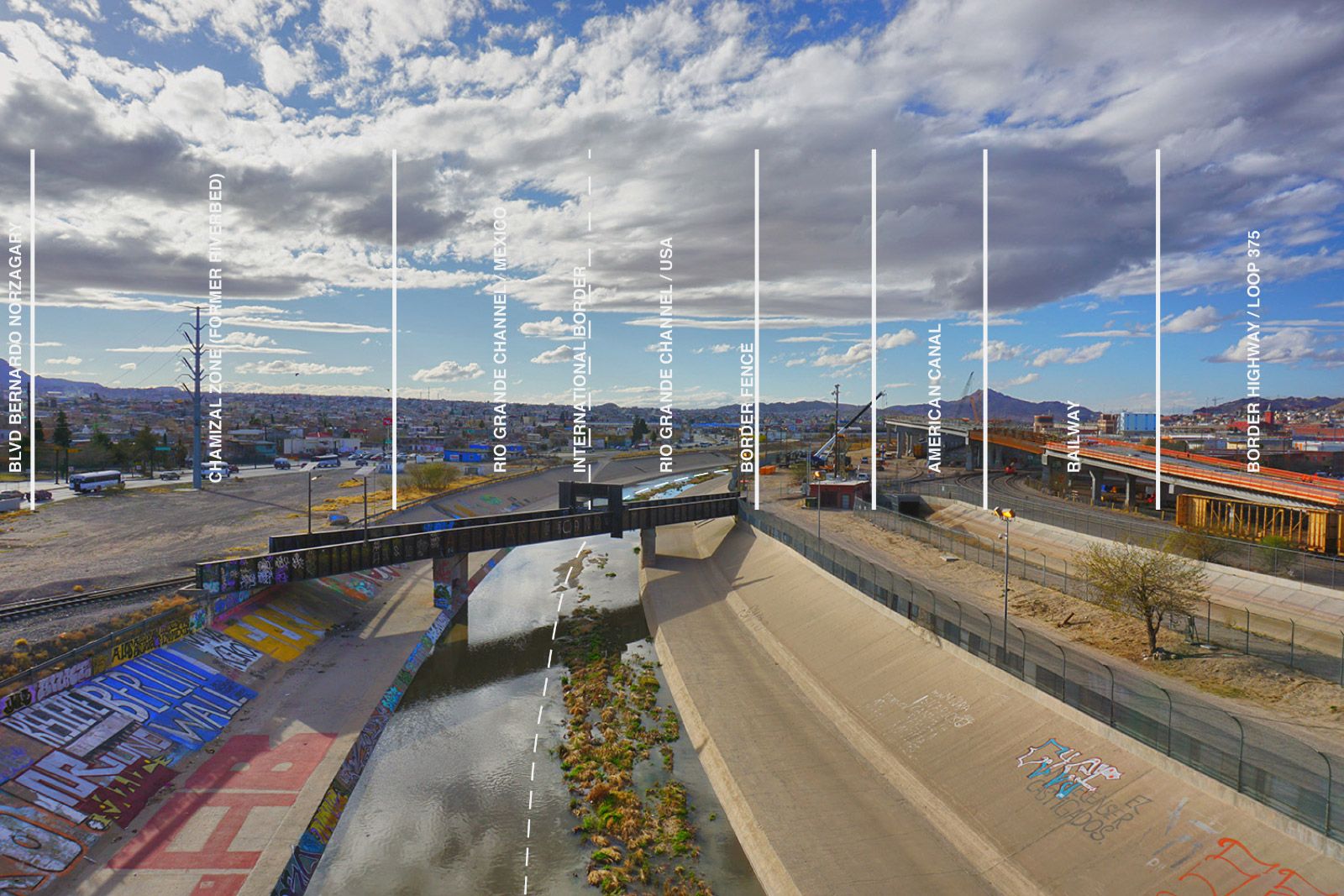
The geopolitical history of the river as a border and of the partitioning of its waters is inscribed within the built environment as a thick constructed zone. The international border between the United States and Mexico was defined by the 1848 and 1884 Treaties, which delineated that the border follow the Rio Grande (Rio Bravo del Norte) from El Paso to the Gulf of Mexico. This rendered the border an unstable condition, as its line needed to be redefined by the International Boundary Commission each time floods caused the river to relocate. A treaty in 1933 attempted to “fix” the river by engineering it into a constructed channel. However, this location left several hundred acres of disputed Mexican territory to the north of the river—the result of a violent change in course in 1864. The 1963 Chamizal Agreement relocated the river and the international boundary once again, moving the Rio Grande back to its 1852 survey location. In this highly publicized moment of international diplomacy, the disputed land was “returned” to Mexico, and a new channel was constructed to reroute the Rio Grande north so that both river and international border aligned. The division between the two countries was now emphasized, further asserted by the open lands of the former riverbed on the Juárez side and a new elevated border highway on the U.S. side of the channel.
Management
The colonization of the U.S. would not have been possible without the massive campaign of dam projects in the early 20th century that commodified the waters of the West and irrigated the farms and settlements of homesteaders. Four dams manage and distribute the Rio Grande waters in the El Paso-Juárez region: Elephant Butte, Caballo, American Diversion, and the International Diversion Dam. Water is distributed according to the 1944 Water Treaty, drawn up when the population of Juárez was less than one-tenth its current size. In 1965, the binational Border Industrialization Program enabled maquiladoras, foreign-owned manufacturing plants, to be located within Mexico’s border zones, and to move materials and products with reduced tariffs and trade barriers. This propelled an influx of new residents who arrived to work in the Juárez border zone maquilas. The treaty, which retains the majority of the river water in the U.S., has not been revised since and contains no provisions for sharing the rapidly depleting Mesilla and Hueco Bolson aquifer waters, which traverse the binational region underground.
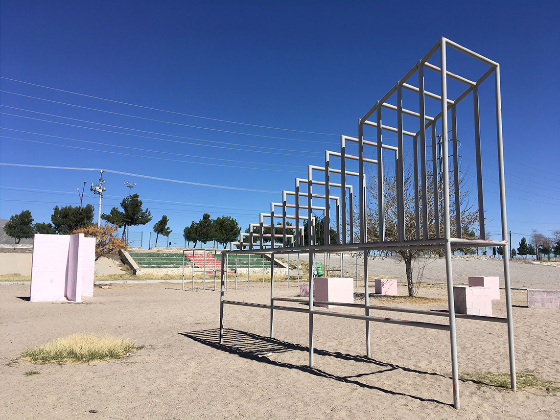
The division of the river water produces politically charged urban spaces. The U.S. Franklin Canal materializes as a physical barrier within the U.S. border zone, flowing deeply and rapidly in a concrete channel alongside the Rio Grande. In Juárez, the diverted water flows along the Acequia Madre, which takes a diagonal course, traversing some of the city’s main public spaces. This once green irrigation channel and common space is now largely neglected and has deteriorated into a toxic line of sewage and trash.
Biopolitics
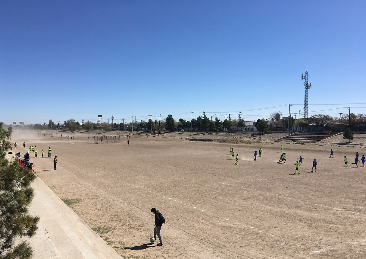
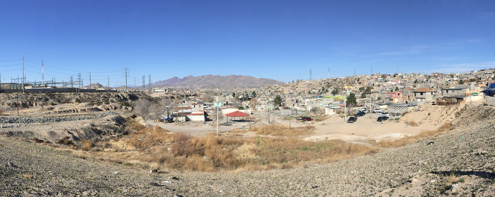
Water is not only scarce in the desert city of Juárez—it is also dangerous. The paper worlds of politics materialize as realities on the ground and in the tissues of bodies. Due to the explosive population growth of Juárez, large portions of the city have been rapidly and often informally constructed, typically without proper municipal sewage or drinking water services. The residents of these informal settlements, known as colonias, rely primarily on truck-supplied water, which has a much higher likelihood of being contaminated and results in high rates of water-borne diseases. Only about a third of the city’s sewage is actually treated. Some colonias have additionally encroached on the city’s drainage gullies and arroyos, putting residents at further risk during flash flood events.
In July 2010, the United Nations General Assembly “explicitly recognized the right to clean drinking water and sanitation as essential to the realization of all human rights.” If this mandate is taken seriously by the binational region of El Paso-Ciudad Juárez, new treaties and agreements will need to be negotiated that address not only the scarcity and distribution of its shared waters, but also the shared responsibility of water rights to citizens on both sides of the border. What remains to be seen is not only what shape these take in terms of political agreements, but also how they will reshape the physical urban spaces of the paired cities.